Your comprehensive platform to create, manage and share geographic information in a simple and professional way.
Visualize, analyze and consult geographic information through interactive web viewers.
Display the territory, orthophotos and thematic mapping through interactive viewers.
Optimización de los funcionarios de Justicia con las entregas de diligencias
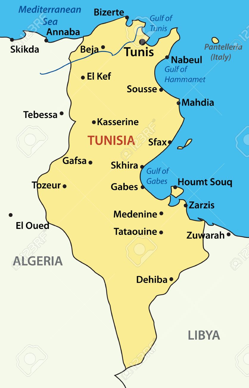
primer Proyecto
App
Testing geotiff layers
test_jm
A complete platform to administrate geographic data, users and projects from a centralized panel.
Publish your geographic data as WMS and WFS services compatible with OGC standards.
Control access and permissions for users and groups over projects and geographic layers.
Integrate data from GeoServer, PostGIS, WMS, WFS and other OGC standards in one place.
Query and manage your geographic information from any device with a web browser.
Responsive interface that adapts to any screen size, from desktop to mobile devices.
Manage users, projects, layers and data stores from a centralized and intuitive panel.
Compatible with OGC standards such as WMS, WFS, WMTS and WCS for maximum interoperability.
Sign in to access all the tools and services of the platform.